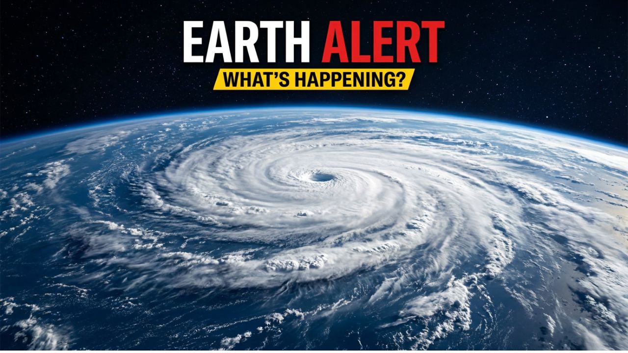
January is where this story stops being theoretical and starts brushing up against real life. All the high-altitude drama we talk about in December—the stretched vortex, the warming stratosphere, the model suspense—either cashes in or fizzles out once the calendar flips. If the current polar vortex disruption fully works its way downward, the second half of January becomes the danger zone.
That’s typically when stratospheric chaos shows up at ground level. Not as a single Instagrammable snowstorm, but as stubborn high-pressure blocks, a jet stream that forgets how to behave, and cold air that refuses to stay politely tucked near the Arctic Circle.
Why January matters more than December
December cold tends to be flashy. A blast here, a storm there. It makes headlines, shuts schools for a day, then moves on. January cold tied to a disrupted polar vortex is different. It’s quieter, more persistent, and far more stressful on systems that assume winter comes in manageable bursts.
If this pattern locks in, parts of North America could see longer-lasting cold spells, not quick shots of chill. The kind that lingers for days or even weeks, grinding down heating systems, straining power grids, and turning small inconveniences into real problems.
The Midwest and Northeast usually feel this first. They sit right under the jet stream’s usual battleground. But southern regions aren’t immune. When Arctic air spills farther south than infrastructure expects, places not built for prolonged cold suddenly find themselves improvising.
[Image: Jet stream pattern dipping south over North America, showing Arctic air intrusion]
Meteorologists at NOAA have been tracking this setup closely, noting that surface impacts often lag stratospheric disruptions by weeks, not days. That delay is why January—not December—is where consequences tend to pile up. NOAA’s polar vortex explainers and outlooks regularly emphasize this lag effect, especially following strong stratospheric warming events, as outlined on noaa.gov.
Europe’s version of the same problem
Across the Atlantic, January disruptions often take on a different accent but tell the same story. Blocking patterns over Greenland or Scandinavia are the usual suspects. When those high-pressure systems park themselves, they bend the jet stream into awkward shapes and open the door for bitter easterly winds.
Northern and western Europe can end up locked in cold that feels stubborn rather than extreme. Southern regions often swing wildly—cold snaps followed by stormy, unsettled weather as Arctic air collides with moisture-rich Atlantic systems.
Snowfall risks rise not just because it’s cold, but because cold air and moisture keep meeting in the same place over and over again. The UK Met Office has repeatedly noted that persistent blocking is often more disruptive than one-off winter storms, especially for transportation and energy demand. Their winter pattern analyses can be found at metoffice.gov.uk.
[Image: Snow-covered European city under gray skies with blocked weather pattern]
Asia feels it differently—but no less intensely
In Asia, particularly Siberia and parts of East Asia, a weakened polar vortex doesn’t introduce cold so much as amplify what’s already there. January outbreaks can be severe, pushing already harsh winter conditions into dangerous territory.
Energy demand spikes. Transportation systems strain. Air quality worsens as cold, stagnant air traps pollutants near the surface. These aren’t hypothetical risks. Past January vortex-related events have shown how quickly routine winter conditions can escalate into regional crises.
NASA’s atmospheric monitoring has shown how stratospheric disruptions can ripple across the Northern Hemisphere, influencing weather patterns far from the Arctic itself. Their global circulation research provides context for why Asia often sees amplified effects, not muted ones, during these events, available at nasa.gov.
Persistence is the real threat
This is the point meteorologists keep circling back to: persistence. January cold linked to a disrupted vortex isn’t about one brutal day. It’s about repetition.
Cold retreats briefly, then returns.
Snow melts just enough to refreeze.
Storm tracks stall instead of sweeping through.
That stop-and-go pattern is what wears systems down. Roads degrade under repeated freeze-thaw cycles. Pipes freeze not because it’s record-breaking cold, but because it’s cold for too long. Emergency services feel the strain when demand stays elevated instead of spiking and falling.
One U.S. forecaster summed it up bluntly: “January after a stratospheric disruption is less like flipping a switch and more like slowly turning a dial.”
Why forecasts will look messy—and why that’s normal
January model runs are going to swing. One day will hint at historic cold. The next will back off. That doesn’t mean forecasters are guessing. It means the atmosphere is sorting itself out in stages.
The signal to watch isn’t any single map or social-media screenshot. It’s patterns repeating across multiple days and multiple models. When blocking shows up again and again, when the jet stream keeps kinking in the same places, that’s when confidence grows.
Utilities, city planners, and emergency managers understand this. That’s why they’re watching quietly, even while public messaging stays measured. Panic helps no one. Preparation helps everyone.
What January exposes that December doesn’t
December cold is often manageable. January cold exposes weaknesses.
Heating systems that worked fine suddenly struggle.
Batteries die faster than expected.
Backup plans stop being theoretical.
This is when small household preparations start paying off. Extra blankets matter. A backup heat source stops sounding paranoid. Portable chargers you never use suddenly feel essential. None of this requires believing the worst-case scenario. It just assumes winter doesn’t need permission to surprise us.
There’s also a mental side to this that rarely gets discussed. January is already heavy—short days, post-holiday fatigue, long nights. Add prolonged cold, and the emotional load increases. That’s another reason meteorologists are careful with their messaging. The goal isn’t fear. It’s readiness.
[Image: Snowy suburban street at dusk with glowing house lights]
If the disruption fades, and if it doesn’t
There’s still a path where this polar vortex disruption weakens, the jet stream smooths out, and January passes quietly—remembered mostly by weather nerds and forecast archives.
But if it doesn’t, January could remind a lot of people that winter still has teeth. Especially when the atmosphere decides to rearrange itself miles above our heads, long before we feel it under our boots.
Either way, the smart move is the same. Watch closely. Prepare calmly. Don’t wait for certainty before taking simple precautions. Winter has never waited for consensus.
FAQ
What is a polar vortex disruption?
It happens when strong atmospheric waves from the lower atmosphere warm the stratosphere above the Arctic, weakening or distorting the vortex that usually keeps cold air locked near the pole.
Does a disrupted polar vortex guarantee extreme cold?
No. It increases the chance of colder, more unstable winter weather, but surface impacts depend on how the jet stream and pressure patterns evolve afterward.
When do surface impacts usually show up?
Typically 1–3 weeks after the main stratospheric disruption, which puts late December through January in the highest-risk window.
Why is January riskier than December?
Because atmospheric changes take time to propagate downward. January is often when persistent patterns lock in rather than passing quickly.


